

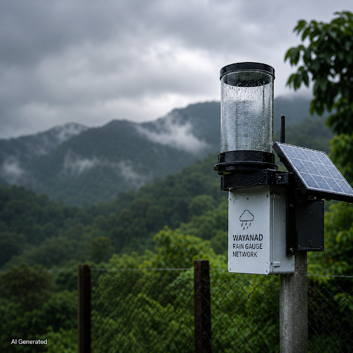
Every morning through the monsoon, farmers and volunteers across Wayanad step outside to read a rain gauge. They note the millimetres collected overnight and send the figure to a research team in Kalpetta.
It is unremarkable work, repeated at around 200 locations, and it has become one of India’s most closely watched experiments in community-led disaster preparedness.
A Network Built After the 2018 Floods
The Hume Centre for Ecology and Wildlife Biology began assembling the network after Kerala’s 2018 floods, which killed more than 400 people. Led by its director, C K Vishnudas, the team started with a handful of gauges and expanded after the 2019 Puthumala landslide, in which 17 people died.
Volunteers were drawn from farming households, tribal settlements and environmental groups. Each maintains one gauge and reports daily, turning scattered readings into a district-wide rainfall record.
Why Hyperlocal Rainfall Data Matters
The India Meteorological Department issues alerts at district and taluk level. Those warnings are essential, but they cannot indicate which particular hillside is closest to failure.
The Hume Centre tracks rainfall across 25-square-kilometre grids. Combined with mapping of past landslide sites and slope conditions, this lets the team sort locations into low, medium and high risk zones against rainfall thresholds.
Wayanad’s vulnerability has deepened over decades. Research cited by The Better India indicates roughly 62 percent of the district’s green cover was lost between 1950 and 2018 as tea plantations expanded nearly eighteenfold.
What the Data Can and Cannot Do
The network’s value showed in 2020, when 55 gauges near Mundakkai recorded close to 1,000 mm of rain over a short period. Several homes were destroyed, but residents had already been moved and no lives were lost.
July 2024 tested it differently. The gauge at Thettamala measured 409 mm in 24 hours shortly before the Mundakkai-Chooralmala landslides, which killed more than 250 people.
The Union Home Minister later told Parliament that four early warnings about rainfall exceeding 200 mm had been issued to the Kerala government beforehand. The Kerala government has maintained that a red alert for Wayanad came only after the landslides.
The Wise Take
Early warning is really two problems. Measuring risk accurately is the scientific one, and in Wayanad it is largely addressed by volunteers with simple instruments and a habit of consistency. Converting that measurement into an evacuation order that reaches the right official in time is the second, and it remains contested. Wayanad has since added forest restoration, slope stabilisation and India’s first permanent animal evacuation shelter. Data alone did not prevent Mundakkai. It has, on other occasions, given villages the hours they needed.