

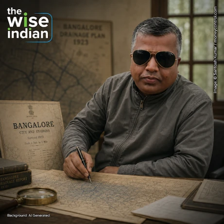
A retired Army captain wondered why the lakes near his village stayed empty in a normal monsoon. The answer was under the roads.
In 2017, standing at a farm near Muthanallur lake on Bengaluru’s outskirts, Captain Santosh Kumar noticed something that did not add up. The rains had been normal. The lake was not filling.
He had retired from the Army in 2008 and returned to Muthanallur, in Anekal taluk. Working out why the water was not arriving took him the next two years.
Two Answers, One Under the Ground
The first thing he found was that water was being extracted illegally from lakes in Anekal for commercial tanker supply. That explained part of the shortfall but not all of it.
Between 2017 and 2019 he travelled across the taluk collecting maps and data. The larger answer was that the channels feeding the lakes had been encroached upon or had disappeared entirely.
Bengaluru sits at about 900 metres with no major river. Centuries ago an interconnected network of stormwater canals called Raja Kaluves linked its lakes, moving overflow downhill by gravity from one to the next. The city has an estimated 800 kilometres of such drains, many of them altered by construction.
What the Old Maps Showed
Kumar obtained British-era survey maps from 1923, which recorded each drain individually. Between Muthanallur lake and Bidaraguppe lake, the maps showed four Raja Kaluves. When he checked in March 2021, all four were encroached, and one had left no trace on the ground at all.
Clearing the First Four Kilometres
He approached government officials in 2020. An official survey by the Minor Irrigation Department, with the village panchayat and the district administration informed, led to clearance beginning on 24 March 2021.
Roughly 4 to 4.5 kilometres of drain between Muthanallur and Battalkere lake were cleared within a hundred days, at a reported cost of about 60 lakh rupees borne by donors and the Anekal Taluk Environment Protection Federation. Some of that land had been encroached for over five decades. After the rains, water flowed into Battalkere. Work then moved to a five-kilometre stretch between Gattahalli and Huskur lakes, and residents and city groups began joining the effort.
The Wise Take
Bengaluru’s flooding is usually discussed as a drainage capacity problem, which invites expensive answers. What this work suggests is closer to a records problem. The drains were mapped, the maps survived, and the land was measurable against them; what was missing was anyone willing to spend three years reading the maps and then asking the revenue department to act. Restoring a few kilometres will not stop a city from flooding. It does establish that the original system is still legally traceable, which is the harder thing to prove and the necessary first step.