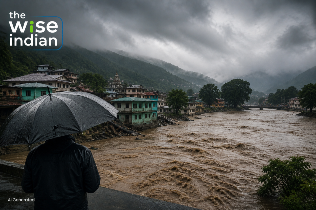

Assam flooded while running a rainfall shortfall. Kerala saw landslides. Across the country, the season has swung between drought and downpour, and scientists say that pattern is the story.
A monsoon that delivers less rain than normal and floods anyway sounds like a contradiction. In 2026 it has been a description of the season.
The southwest monsoon arrived on 4 June 2026 and has since alternated between long dry spells and short, violent bursts of rainfall. Both features are normal in isolation. Scientists quoted this season have flagged the intensity of each as the concern.
A Season of Two Extremes
India Meteorological Department data cited for the period from 1 June to 5 August 2026 placed cumulative rainfall for the country as a whole at about eleven per cent below the long period average. Down To Earth reported a sixteen per cent deficit at the time of its analysis, with more than half of districts recording a shortfall.
The figures move week to week, which is itself part of the picture. A season this uneven does not sit still long enough for a single number to describe it. Both dates and figures in an ongoing season should be read as snapshots. A deficit measured in the first week of August can narrow substantially if the second half of the month is active.
Assam Shows How Both Can Happen at Once
Assam faced flooding this season despite carrying a substantial rainfall deficit. That combination illustrates a point that annual averages hide.
When a season’s rain arrives compressed into a handful of intense spells, catchments and drainage systems fail regardless of the seasonal total. The damage is caused by rate, not volume. Assam’s experience this year is therefore less an anomaly than an illustration of what a compressed rainfall distribution does to a landscape that was already carrying a shortfall.
The Human Cost in the Hills
Kerala saw persistent showers trigger landslides in vulnerable hilly regions, disrupting transport and daily life. An IMD-linked update in early August 2026 reported at least fifteen deaths and seven people missing, with emergency teams deployed and residents in landslide-prone areas advised to move to safer ground.
Figures in an active disaster are provisional and are usually revised as access improves.
What Scientists Point To
Researchers have linked the erratic pattern to a combination of natural monsoon variability, a strengthening El Nino in the equatorial Pacific, western disturbances, and warming driven by greenhouse gas emissions. El Nino conditions tend to increase both the number and duration of break periods within a season.
Forecasts from some international centres have also suggested positive Indian Ocean Dipole conditions could develop later in the season, which would add another variable to an already complicated picture. Scientists quoted this season have also cautioned that active and break periods are a normal feature of the Indian monsoon, and that the concern lies in their intensity rather than their existence.
The Wise Take
The instinct after a difficult monsoon is to ask whether the rain was too much or too little, as though those were the only two options available. This season suggests the more useful question is about distribution. A country can end a year near its seasonal average and still lose crops to a three-week dry spell and homes to a single afternoon. Preparedness built around annual totals will keep missing that. What improves outcomes is forecasting at shorter timescales, drainage designed for intensity rather than volume, and local warning systems that reach people who live below a slope. None of that is dramatic. All of it saves live