

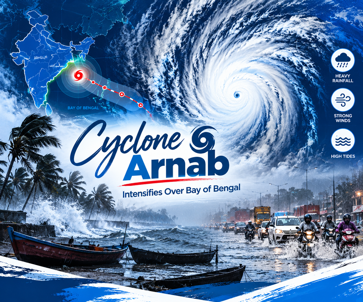
Cyclone Arnab has intensified over the Bay of Bengal. As a result, weather warnings now cover India’s eastern coast. The IMD forecasts landfall near Andhra Pradesh on 28 October. Winds could reach 115–125 km/h, with gusts up to 140 km/h. Moreover, heavy rain, coastal flooding and transport disruptions remain key concerns.
Cyclone Arnab Strengthens Over the Bay of Bengal
According to the IMD’s 26 October bulletin, Cyclone Arnab sat over the east-central and adjoining west-central Bay of Bengal. It lay about 580 km southeast of Gopalpur in Odisha. It also lay 610 km east-southeast of Visakhapatnam in Andhra Pradesh. The system moved westwards at about 15 km/h during the six hours before the bulletin’s latest observation. Next, it should move west-northwestwards. After that, it should turn northwest towards the Andhra Pradesh coast.
The IMD expects the storm to intensify into a severe cyclonic storm by midnight on 26 October. It could then become a very severe cyclonic storm on 27 October. However, atmospheric and oceanic conditions drive such changes. Therefore, forecasts may change as fresh observations arrive. Satellite imagery helps meteorologists study cloud bands and the storm’s circulation. Furthermore, weather instruments and computer forecasting models add useful data. Together, these tools help forecasters assess the cyclone’s structure and likely movement.
Landfall Forecast Points Towards Andhra Pradesh Coast
The IMD says Cyclone Arnab could cross the Andhra Pradesh and Yanam coasts by the forenoon of 28 October. The crossing should happen between Bapatla and Visakhapatnam, close to Yanam. At landfall, the system should produce maximum sustained winds of 115–125 km/h. Gusts could reach 140 km/h. Consequently, temporary structures, power infrastructure, trees and road networks face risks along the coast. The New Indian Express reported that squally weather could hit the Andhra Pradesh and Yanam coasts on 27 October. Winds should strengthen as the system approaches. Sea conditions will also worsen, which could make maritime activities dangerous.
Still, the forecast track does not mean every coastal district will see identical conditions. The cyclone’s final path, intensity, speed and landfall timing will decide the actual impacts. For example, small changes in these factors could shift the strongest winds or heaviest rainfall elsewhere. Therefore, residents in potentially affected districts should follow updated IMD bulletins and local authority instructions. They should not treat the current forecast as a fixed outcome.
Heavy Rainfall and Coastal Hazards Under Watch
Beyond strong winds, heavy to extremely heavy rainfall is a principal concern. The IMD forecasts significant rainfall across coastal Andhra Pradesh and parts of Odisha as the system approaches. In Andhra Pradesh, several coastal districts could see intense downpours on 27 and 28 October. The New Indian Express reported possible extremely heavy rainfall at isolated locations. These include parts of the Godavari region and districts closer to the projected landfall area.
The IMD has also warned of a possible storm surge of about 1.0–1.5 metres above the astronomical tide. It could hit low-lying areas near Kakinada and Yanam during landfall. A storm surge is an abnormal rise in sea level linked to a storm. Moreover, it can flood coastal areas, particularly alongside high tides and heavy rainfall.
Southern Odisha could also see heavy rainfall and gusty winds. Reports name Ganjam, Gajapati, Rayagada, Koraput and Malkangiri as areas of concern. Furthermore, a cyclone’s effects can reach well inland. Heavy rainfall may overwhelm drainage systems, flood low-lying areas and disrupt road and rail movement.
Authorities Prepare as Warnings Continue
State authorities in Andhra Pradesh and Odisha are preparing for the approaching system. News organisations report disaster-response deployments, monitoring arrangements and restrictions that reduce public exposure to dangerous conditions. The Times of India reported that Odisha has deployed disaster-response personnel. These include teams from the Odisha Disaster Rapid Action Force and the National Disaster Response Force. In addition, fire service teams are on alert for possible heavy rainfall and strong winds.
Fishing activity is another key concern. The IMD has advised fishermen not to venture into the sea. Likewise, it has told fishing boats already at sea to return to shore. After all, rough seas and strengthening winds can create hazards even before landfall. Authorities may also issue evacuation instructions for vulnerable coastal settlements and low-lying areas. Therefore, people in temporary structures or flood-prone locations should follow official directions. They should use designated shelters where instructed.
Residents should secure loose outdoor objects and keep essential medicines and important documents accessible. They should also charge mobile phones and monitor official weather updates. Above all, people should avoid beaches, flooded roads and coastal waters during dangerous conditions. Local restrictions may vary between districts, so travellers should check transport advisories before starting journeys.
The Wise Take
Cyclone Arnab shows the importance of timely forecasting, reliable public communication and coordinated disaster preparedness. The IMD forecasts a possible very severe cyclonic storm with gusts reaching 140 km/h. Thus, the next 48 hours matter most for monitoring the system’s intensity and projected path.
However, forecasts describe the most likely evolution of a weather system using the information available at that time. They do not guarantee identical impacts everywhere. Instead, damage, rainfall distribution and coastal inundation will depend on the storm’s eventual behaviour and local conditions.
For residents of Andhra Pradesh, Yanam and southern Odisha, the priority is clear. They should follow official warnings, comply with evacuation instructions and avoid unnecessary exposure to hazardous weather. Meanwhile, authorities, emergency services and communities must stay prepared as forecasts change. Preparedness depends less on a warning’s severity than on how well accurate information reaches people. Accurate information helps them take timely protective action. Continued IMD monitoring and clear local communication will remain essential as the cyclone nears India’s eastern coast.
Also read our other article on GRAP-1 Imposed in Delhi as Air Turns ‘Poor’, Schools and Offices Unaffected: What Residents, Builders and Vehicle Owners Need to Know
Follow The Wise Indian for regular updates on stories that shape India’s strategic future and global standing. Stay connected with us for sharp analysis, untold perspectives, and a closer look at the shifting legal landscapes, civic rights, and institutional frameworks defining our democratic fabric.