
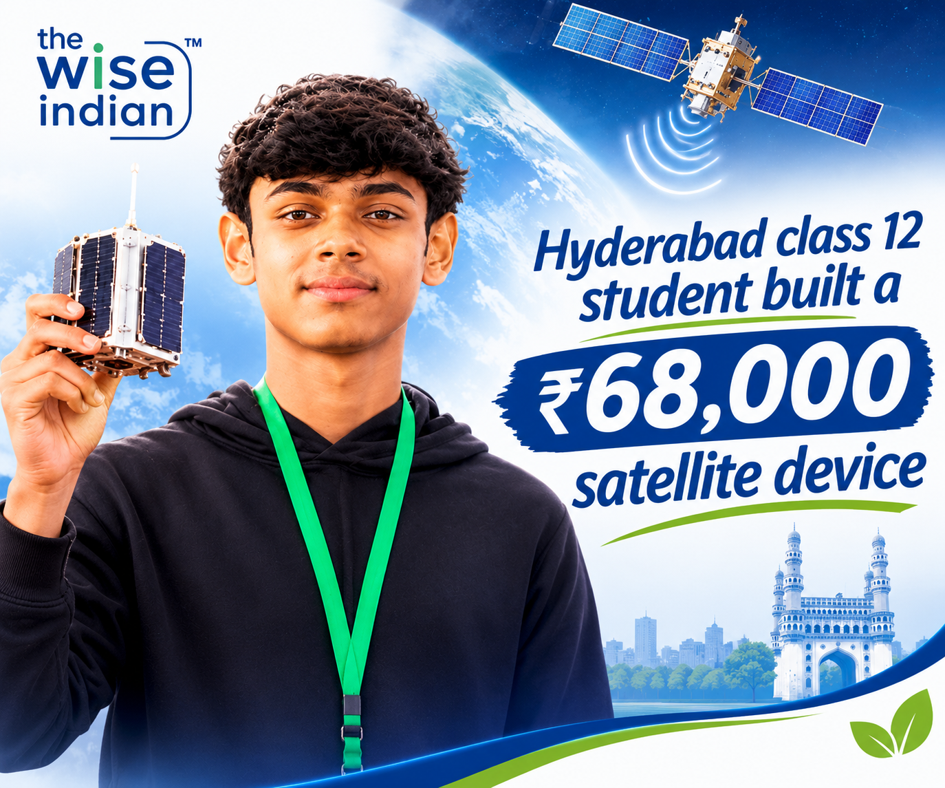
Heavy rain can leave remote mountain villages without mobile signals. At that moment, residents may struggle to access weather information. Aagam Jain, a Grade 12 student from Hyderabad, wants to address that gap. He developed SummitSathi, a portable receiver that downloads cloud images directly from weather satellites.
The device does not need an internet connection or a mobile network. Each unit costs around ₹68,000. The project aims to bring satellite imagery to villages in Himachal Pradesh’s Seraj Valley. It offers an interesting example of student innovation linked to disaster preparedness. However, the receiver does not predict cloudbursts or replace official weather alerts. Its purpose is more specific: it helps communities access satellite images when regular connectivity fails.
A Mountain Experience Inspired the Idea
The idea reportedly began during Aagam Jain’s mountain-climbing trip near Dehradun. He struggled to access weather updates because mobile connectivity was poor. Meanwhile, conversations with villagers helped him understand the wider problem. Remote communities often face unreliable communication during difficult weather. This can make it harder to follow changing conditions. For residents in mountainous areas, that information gap can become serious during heavy rain.
Aagam began exploring another way to receive weather-related information. He considered whether satellites could deliver useful images directly to people on the ground. That question became the starting point for SummitSathi. Rather than treating weak connectivity as an unavoidable limitation, he explored a practical alternative. The experience also shows how direct contact with communities can shape a student’s research.
How SummitSathi Receives Images Without Internet
Most weather applications rely on internet access to display satellite images and forecasts. SummitSathi takes a different approach. It receives signals directly from passing meteorological satellites. The device then processes the data into cloud images that users can view locally. Therefore, it does not depend on mobile towers or an internet connection to retrieve those images. The receiver uses commercially available components. Reports put the cost of each unit at approximately ₹68,000.
After an initial field test near Dehradun, Aagam refined the system. He also developed a simple grading scale to help users interpret the images. This feature matters because raw satellite data may confuse people without technical experience. A useful device must do more than capture signals. It must also present information in a form that local users can understand. SummitSathi combines direct satellite reception with a simpler way to view weather-related imagery.
Ten Villages Are Part of the Deployment Plan
The project focuses on villages in the Seraj Valley of Himachal Pradesh’s Mandi district. Reports say the team plans to install three SummitSathi receivers across 10 villages. The initiative could reach more than 1,000 residents. The project has also included local training. Three local operators have reportedly learned how to use the equipment. This step could help communities access the system without depending entirely on outside technicians. The region’s geography makes reliable communication difficult.
Heavy rain can disrupt roads and mobile services. Landslides can also isolate settlements and delay assistance. In such conditions, an independent source of satellite imagery may provide useful additional information. However, the planned deployment will need to demonstrate its practical value. The team must consider maintenance, power supply, user training and consistent access. Local feedback will also show whether residents can interpret the images confidently.
Satellite Images Are Not Emergency Warnings
SummitSathi’s capabilities need a clear explanation. The receiver provides satellite cloud imagery, but it does not automatically predict cloudbursts. It cannot guarantee advance warnings about flash floods, landslides or extreme rainfall. Satellite images show cloud patterns and other visible weather developments. However, users need suitable knowledge to interpret those patterns. An image alone cannot confirm exactly where a dangerous event will occur. Nor can it establish when that event will happen.
Therefore, communities should treat SummitSathi as an additional information source. They must continue following official forecasts and warnings from the India Meteorological Department. Local authorities also remain essential during emergencies. This distinction is important because exaggerated claims could create false confidence. The device’s value lies in providing another way to access imagery when internet and mobile services fail. It does not replace professional forecasting, public alerts or emergency response systems.
The Wise Take
Aagam Jain’s project connects scientific curiosity with a practical community challenge. His interests also extend beyond weather technology. He reportedly spent 24 months recording night-sky brightness at 25 locations across Hyderabad. The observations explored how artificial lighting affects the visibility of stars. He has also pursued independent astronomy research and published an astrophotography book titled A Window to the Universe. Reports further state that he developed SummitSathi as a patent-pending project.
His work reflects a wider interest in making science accessible to students and communities. Still, the project’s next test will happen outside the classroom. The planned receivers must prove reliable in the villages they aim to serve. Local operators will need ongoing support, while residents must understand what the images can show. The device cannot remove the dangers of extreme weather. Yet it may give isolated communities another source of information when communication networks become unreliable. That is a meaningful goal for a student-led innovation.
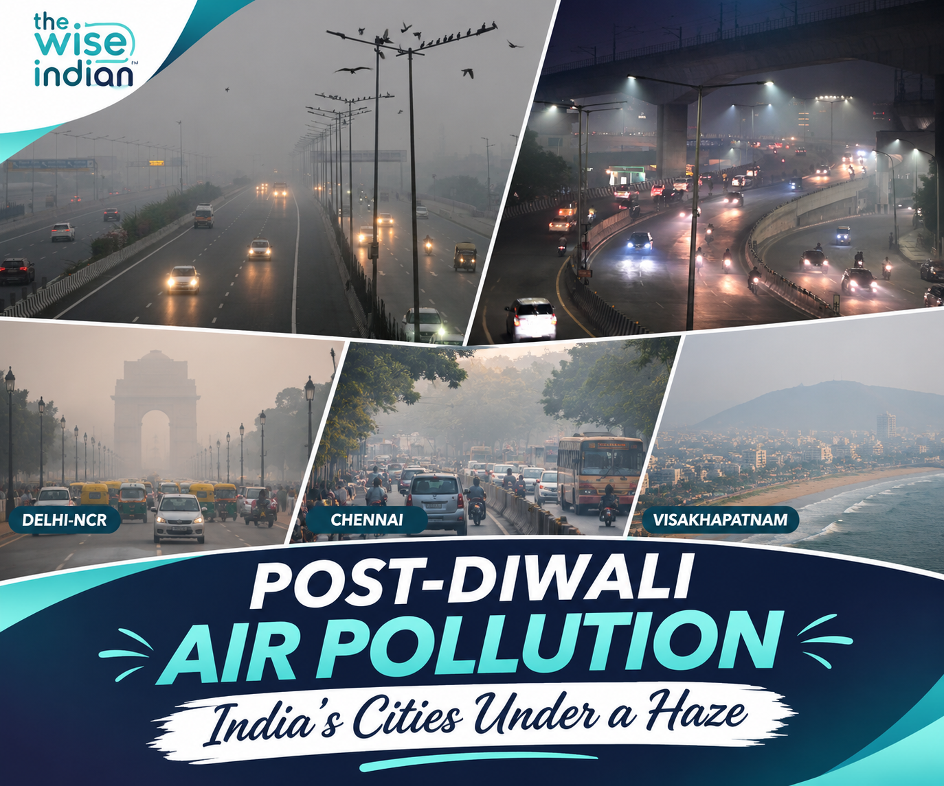
Also read our other article on Post-Diwali Air Pollution Spreads Across India as Delhi, Andhra Pradesh and Chennai Report Dangerous Pollution Spikes
Follow The Wise Indian for regular updates on stories that shape India’s strategic future and global standing. Stay connected with us for sharp analysis, untold perspectives, and a closer look at the shifting legal landscapes, civic rights, and institutional frameworks defining our democratic fabric.